
Avvari AI Labs · crop intelligence
Know your crop without cutting it.
HasiruDhan maps a field in 3D as you walk it, then measures precisely how much plant is growing, without disturbing the crop.
8 Oct 2026 · walking kit
The problem
Biomass is still measured manually, with a scale?
Agronomy trials, crop insurance and carbon accounting all need to know how much crop is in a field. Today that means harvesting a one-metre square, drying it and weighing it. It is slow, it destroys the plants, and it samples a tiny fraction of the field.
Meet HasiruDhan
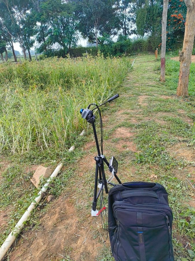
A sensor on a pole, a small backpack, and your phone…
Sensor
Sees the whole crop
Looks down into the plants and across the rows as you walk.
Backpack
Does the work as you walk
Builds a picture of the plot and checks that the scan is good.
Control
Start and stop from a phone
No laptop in the field. The phone shows READY, then GOOD when the scan is done.
- Press StartThe kit checks and levels itself.
- WalkWalk around the field.
- Press StopBack at the start marker. Quality: GOOD.
- Get the mapGet the map of the field.
Field results · 8 and 15 Oct 2026
Height alone gets the crop wrong.
We scanned groundnut, finger millet, cowpea and maize plots. Groundnut stands about a third as tall as maize, yet it holds almost the same plant volume. A height sensor or a satellite index would miss that.
Plant volume
Next: We are calibrating each crop against harvested samples, so the volume map becomes a biomass map.
Who it's for
One scan, five kinds of decisions!
The same map answers different questions depending on who is reading it.
Agronomy and research
Farmer producer organisations
Crop insurance
Carbon MRV
Generate income
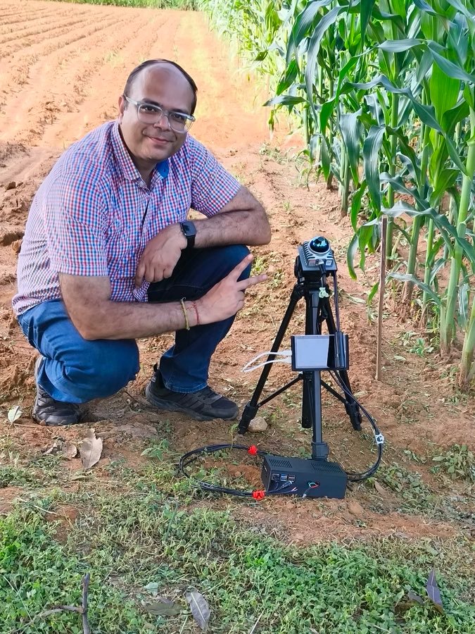
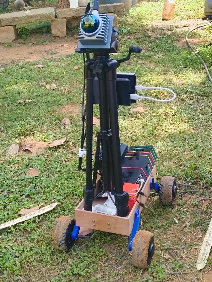
Three ways to scan
On foot today. On a station, a rover or any vehicle next.
Three set-ups, so a team can start with the walking kit and move to unattended scanning as the work grows.
Engineering heritage
Built by a team that ships radar, railway and space hardware.
Before agriculture, Avvari AI Labs built embedded systems for safety-critical industries. That work is why HasiruDhan runs reliably on a small computer in a dusty field.
- Embedded systemsBoard bring-up, firmware, Yocto Linux on i.MX8
- Automotive radarCollision detection, brake automation, object classification
- RailwayUltrasonic flaw detection for track cracks
- SpaceCustom space camera and onboard computing
- Robotics and AIROS2, SLAM, sensor fusion
- Product designMechanical, electronics, prototyping to production
Product · walking kit
HasiruDhan
ಹಸಿರುಧನ · green wealthMeasures how much crop is standing in the field, from a single walk, without cutting a plant.
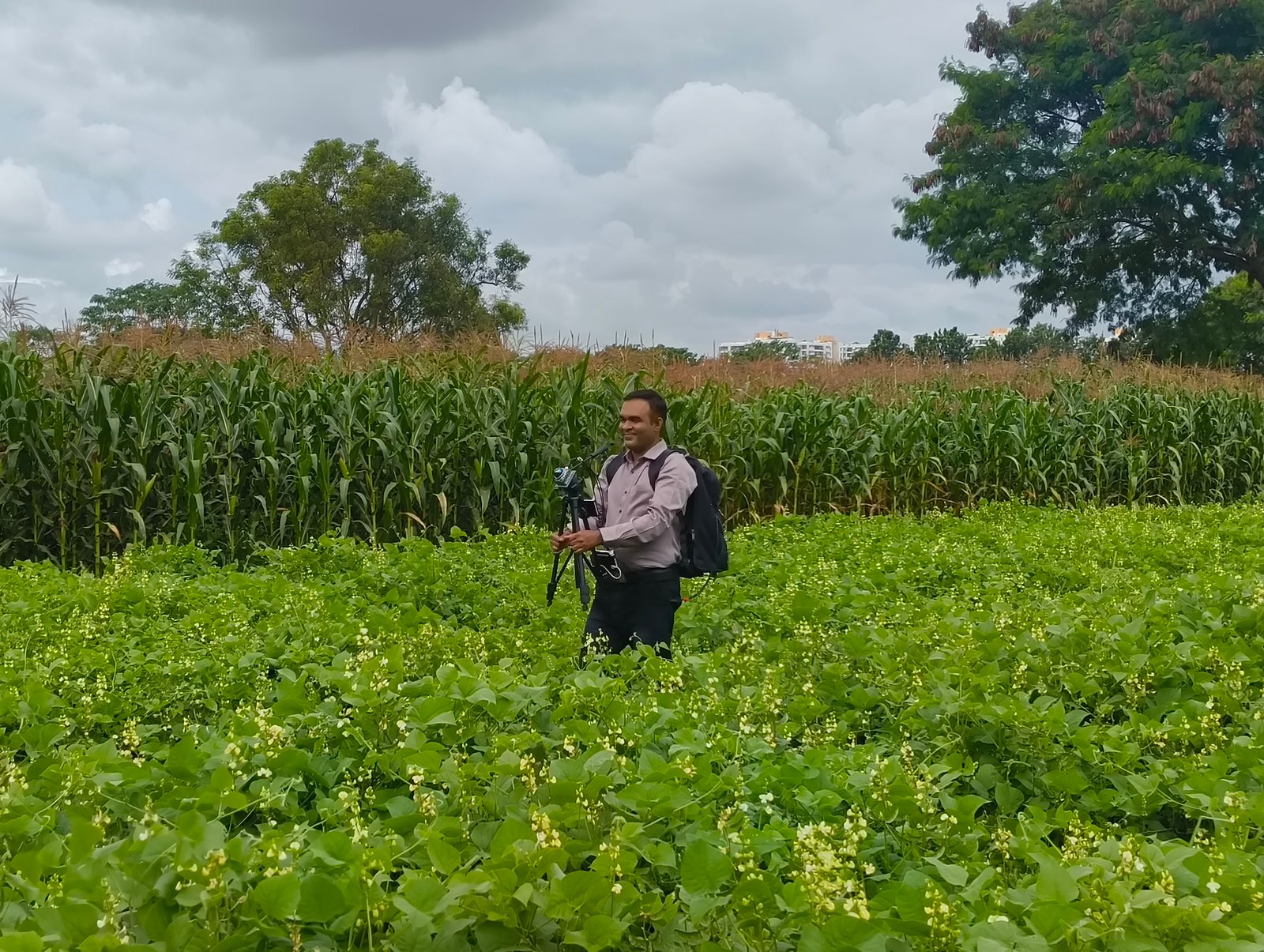
A scan, start to finish
What the person in the field does.
No training in surveying. The phone tells you when the kit is ready and whether the map is good enough to keep.
Technology
From one walk to a crop map.
Walk the plot once and HasiruDhan gives you one number for every corner of the field, ready to compare across plots, dates and crops.
Roadmap
Where HasiruDhan is going.
We report what we have measured, and we say what still needs calibration.
Done
Walking kit in the fieldDone
Patent filedNow
Calibration to kilogramsNext
Season maps and rover
About Avvari AI Labs
Engineers who took their hardware into the field.
We are a deeptech company from Belagavi, Karnataka. Before agriculture, we built embedded systems for radar, railway and space. Now we use that know-how to help farmers, researchers and insurers measure crops without cutting them.
- Company
- Avvari AI Labs Pvt Ltd
- Based in
- Belagavi (Belgaum), Karnataka
- Product
- HasiruDhan crop biomass mapping
- Incubated at
- IIT Mandi
- Research partner
- RIOF, UAS GKVK, Bengaluru
- Recognition
- Startup India certified
- IP
- Patent filed
Why “Avvari”
A name that calls out to mother, with respect.
Kannada
ಅವ್ವ Avva
means “mother”.+ ri
-ri
adds respect, the way elders are addressed.= Avvari
Avvari
how North Karnataka calls a mother, with respect.In the field, farmers call the land ಮಾತೃಭೂಮಿ Matrubhoomi, mother land. Our name is a tribute to both: the mother who raised us, and the land that feeds us all.
Our story
From safety-critical systems to the crop row.
Hardware that has to work in a car, on a railway track or in orbit has to be reliable. We bring the same discipline to a dusty field in Karnataka.
Where we started
Embedded engineering
Firmware, sensors and onboard computers for automotive radar, railway inspection and space cameras.
What we saw
Agriculture still weighs by hand
Trials, insurance and carbon projects all depend on cutting, drying and weighing small patches of crop.
What we built
HasiruDhan
A walking kit that maps a field and measures how much crop is growing, leaving every plant standing.
How we work
Built for small farms, tested in real fields.
Most Indian farm holdings are small and marginal, too small for a satellite to measure field by field. We design for them first.
Research partner
Research Institute on Organic Farming, UAS GKVK, Bengaluru
HasiruDhan is a joint effort of Avvari AI Labs and the Research Institute on Organic Farming (RIOF) at the University of Agricultural Sciences, GKVK, Bengaluru.
Team
The people behind HasiruDhan.
Founders with decades of embedded and robotics engineering, guided by an advisor from UAS GKVK.
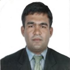 Sanjeev N Anigol
Founder & Director
18+ years in embedded systems, AI and robotics, from board bring-up to Linux device drivers.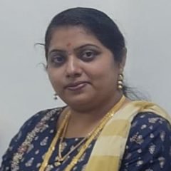 Vidya S Anigol
Founder & CEO
Leads finance and operations, and builds the team.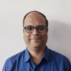 Ashwin Deshmukh
Chief Technology Officer
19+ years in AI, robotics and embedded systems.Advisor
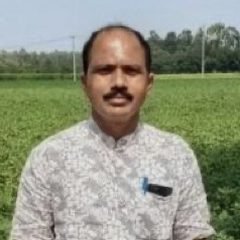 Dr. Boraiah
Professor & Coordinator, RIOF, UAS GKVK
20+ years leading research in organic production and sustainable agriculture. 57+ publications.Visit us
Avvari AI Labs, Belagavi
Samruddh Apartment, 1st Floor, Flat F4Bazar Galli, Vadagaon (Vithal Temple East)
Belagavi 590005, Karnataka Get directions
Work with us
We are inviting pilot partners, sponsors and funders.
If you run trials, insure crops, develop carbon projects or want to back field-tested agritech, we would like to hear from you.
Pilots and research partners
Put HasiruDhan on your field this season.
We are inviting farms, FPOs, research stations and carbon project developers to run pilot scans with us. Tell us about your crop and we will plan the first walk together.